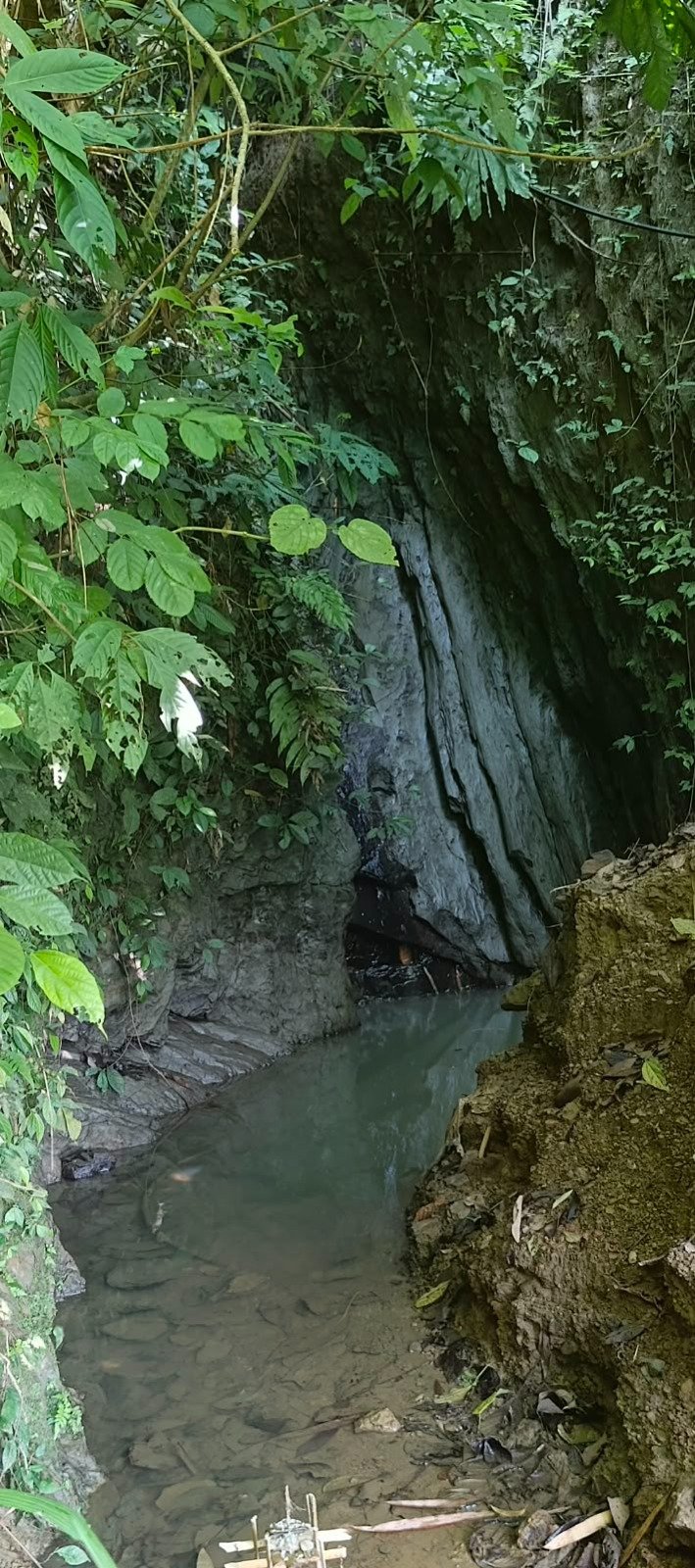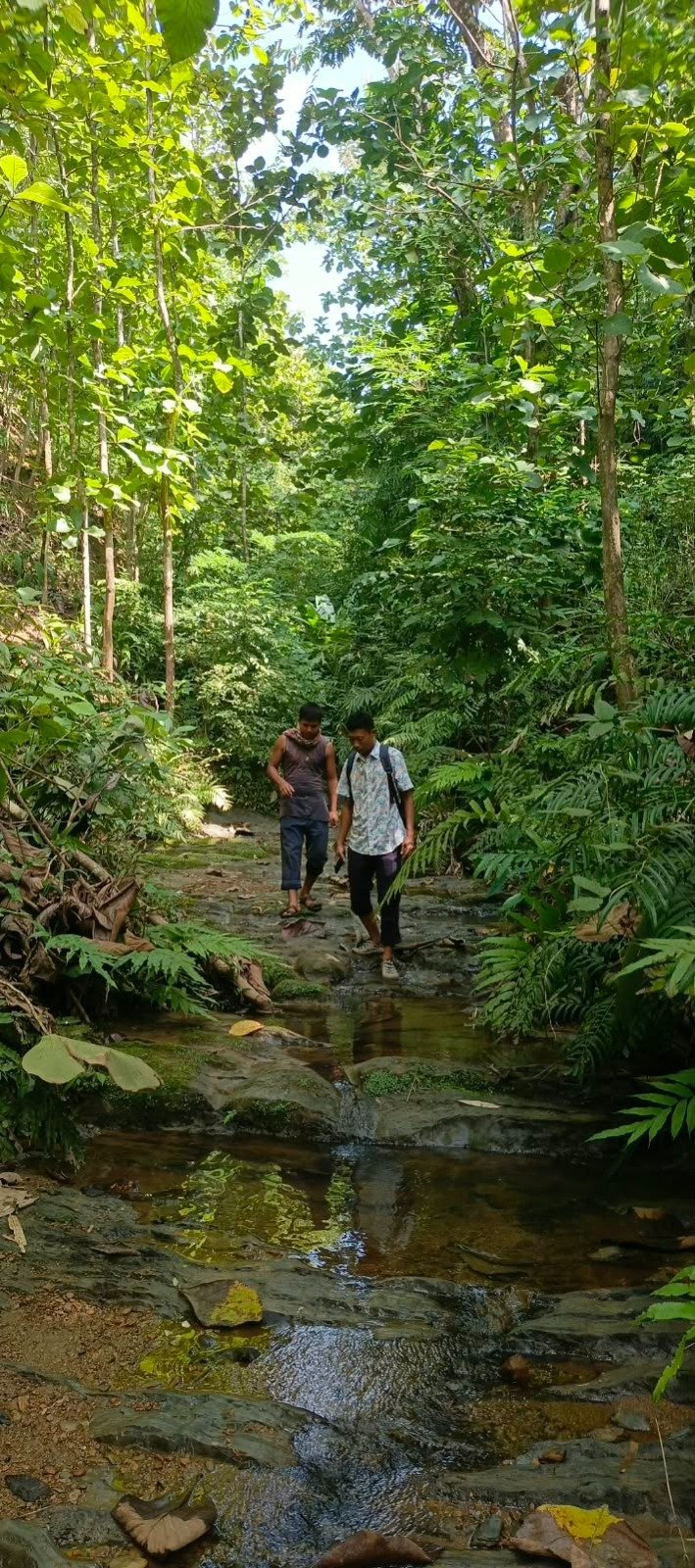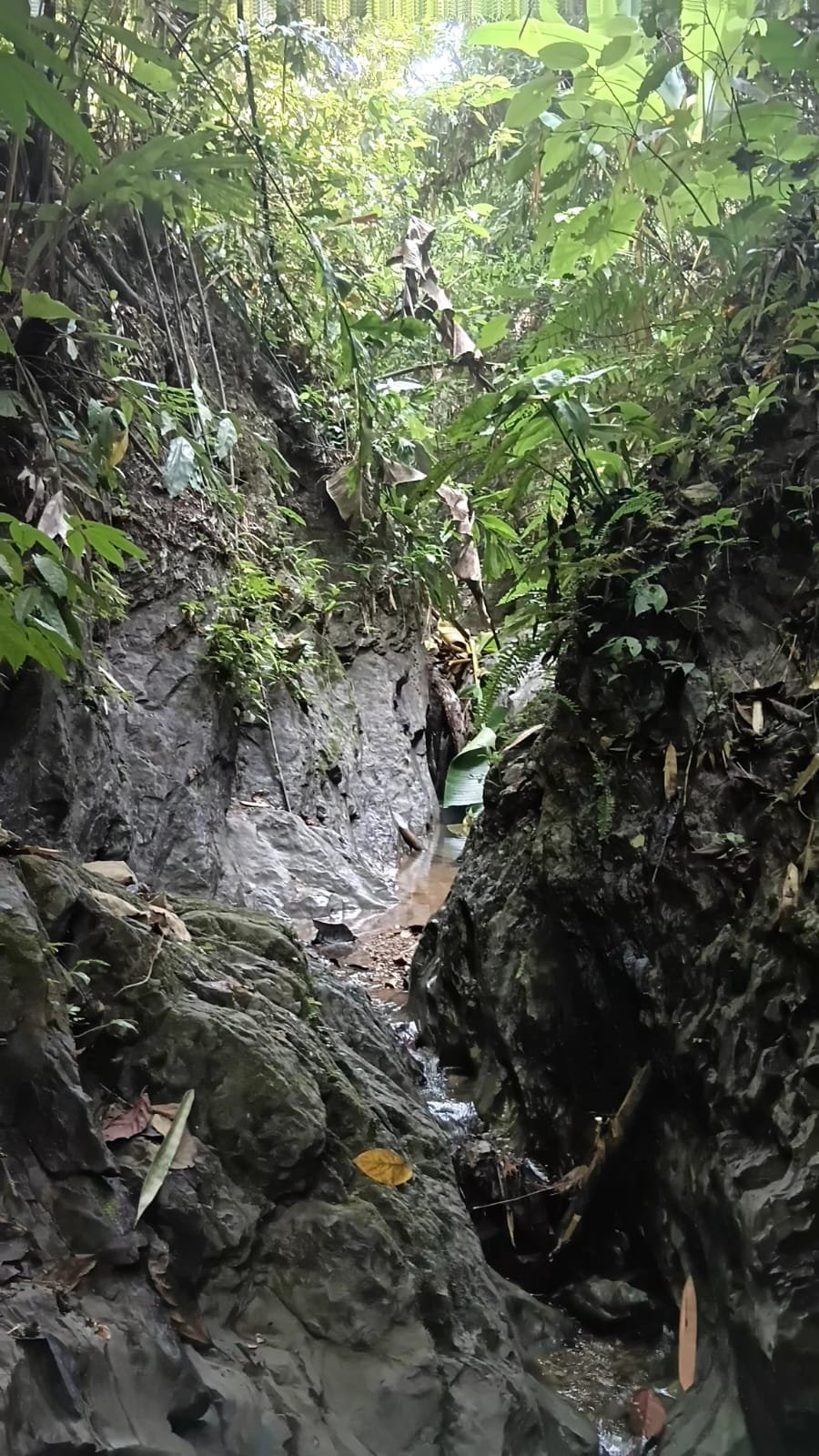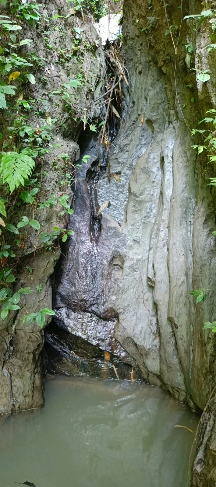
As part of the Promoting GESI Responsive Nature-Based Solutions for Enabling Resilience in CHT (PGRNER) project, a spring mapping activity was conducted at three natural water sources—Taglak Juri, Haf O Juri, and Ramani Ranjan Juri—in the Jora Bridge area of the Chittagong Hill Tracts (CHT).
The activity focused on collecting essential field information to support the conservation and sustainable management of natural springs and their surrounding springsheds.
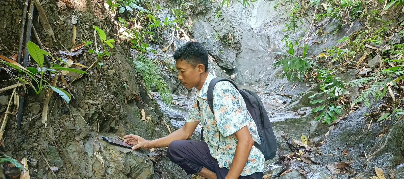
Digital Field Data Collection
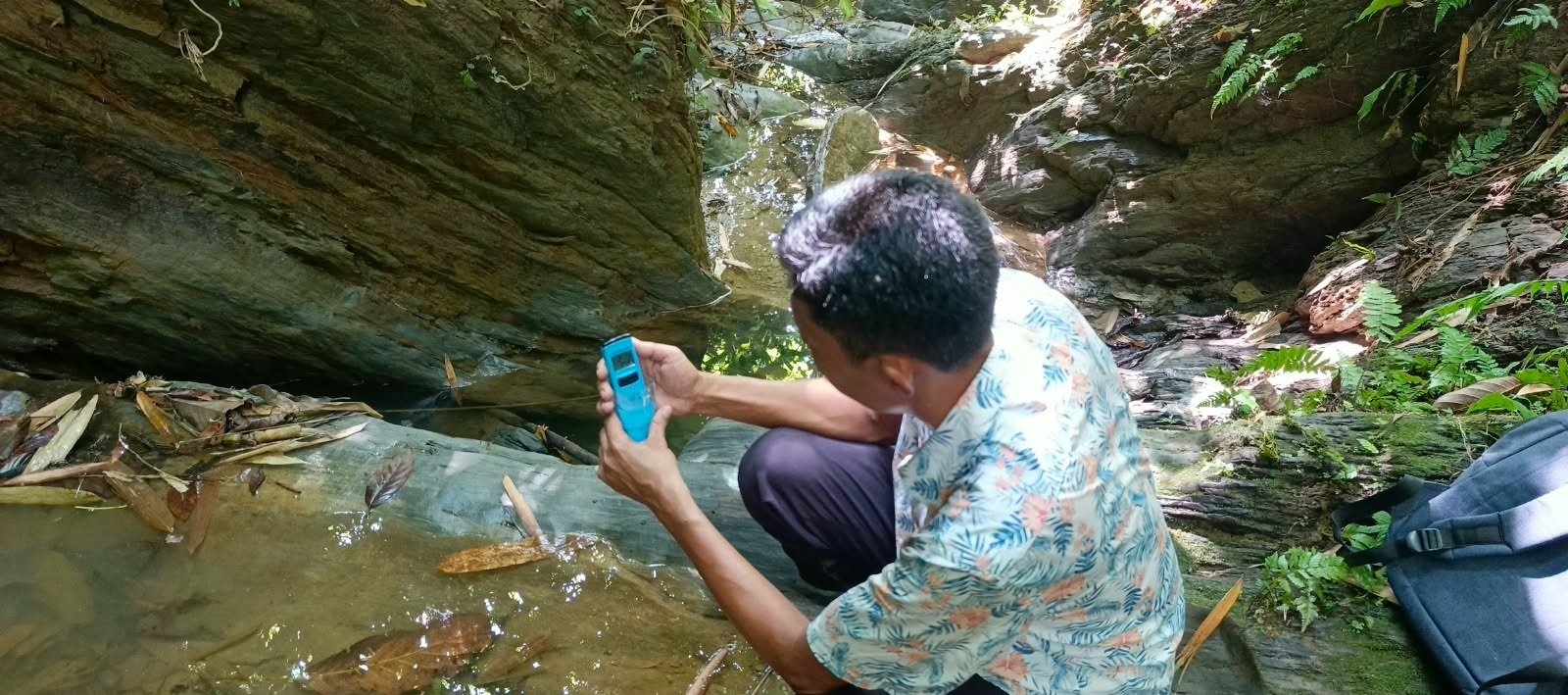
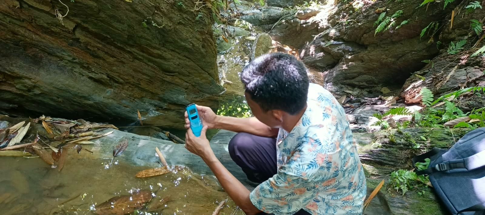
The Survey123 application was used to collect and record relevant information about the springs and their geographical characteristics. Rocklogger was used to measure hillside slopes, while water-quality testing was carried out to document conditions at the water sources.
Supporting Springshed Conservation
The spring mapping activity gathered information on spring and springshed geography, hillside slopes, and water quality. These observations can help inform future springshed management, water-source protection, and nature-based conservation planning.
Through this field-based assessment, the PGRNER project is strengthening the information base needed to plan measures that support sustainable natural-resource management and climate resilience in the Chittagong Hill Tracts.
Field Photo Gallery
Six views from the spring mapping activity. Select a photo to view it in full.